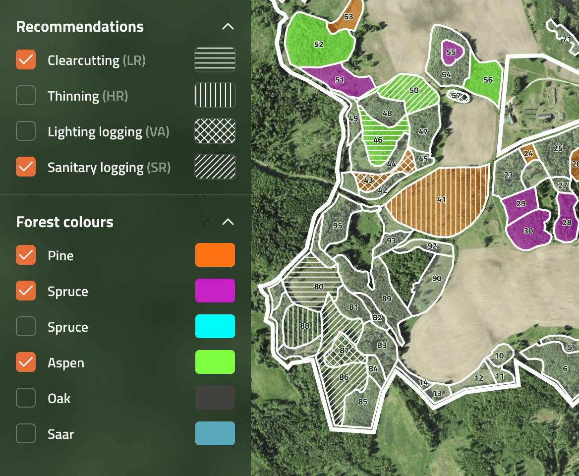
Real-Time Forest Registry

Allows forest owners and managers to collect forest data from different sources, update it and create a near real-time data registry.

msforest
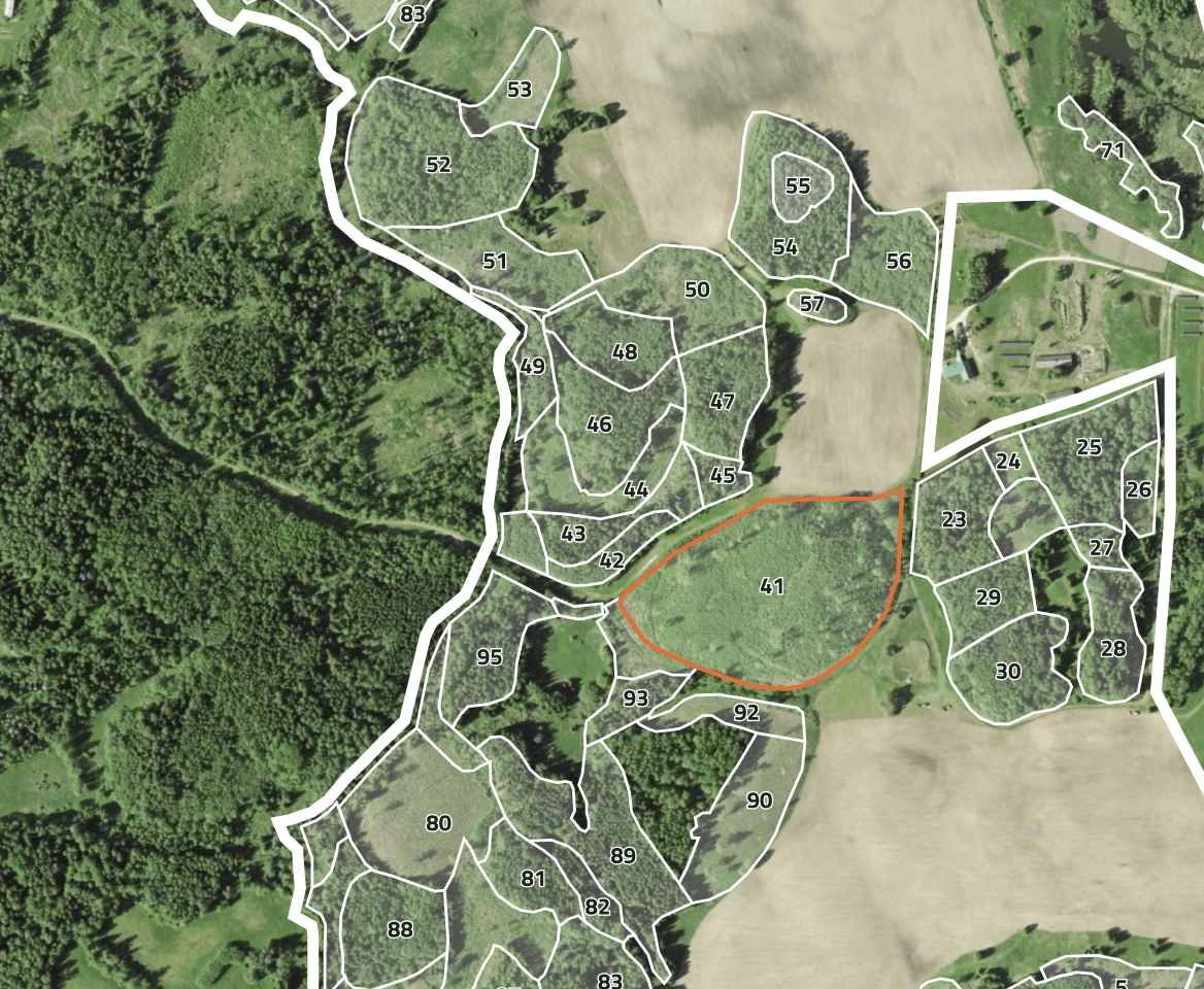
Forest inventory

Forest inventory

Powerful Tools for Forest Management

The forest conditions are being assessed using modern remote sensing applications. The updated forest data forms a basis for timely and accurate management recommendations.
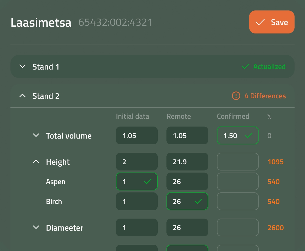
Forest data actualization
Forest data actualization

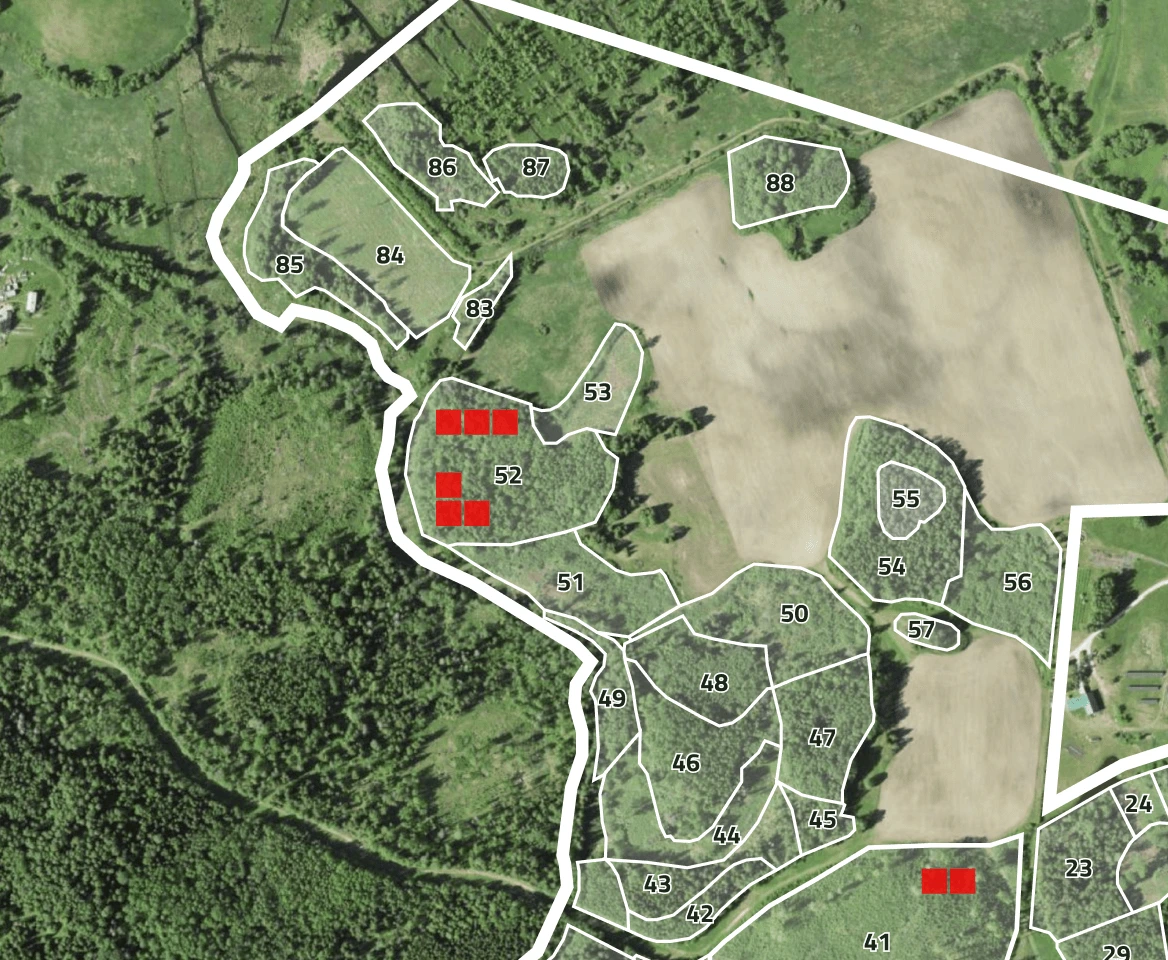
Forest damage detection
Forest damage detection

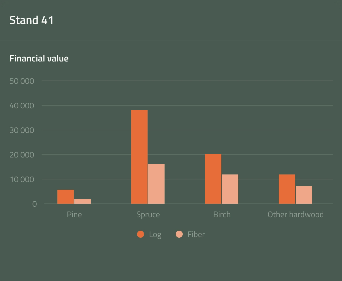
Forest value assessment

Forest value assessment

Coming soon
Forest management recommendations

Forest management recommendations

MSForest has been Developed Together with

Developing a remote sensing–based method for assessing forest tree species composition

Together with the Estonian University of Life Sciences, Minasuudanforest OÜ is developing a method that identifies the main tree species in Estonian forests by remote sensing. The project aims to build and test a machine learning approach that uses Sentinel-2 multispectral time series and forest structure metrics from LiDAR data. The target is an overall accuracy of at least 80% in identifying each stand’s dominant tree species.

The project will deliver a validated tree species classification model, prototype tree species maps for at least three pilot areas, and a technical final report with a roadmap for turning the method into a new service on the MS Forest platform. The result will give forest owners more frequent and cost-effective tree species data. It will also support forest biodiversity assessment under the EU Nature Restoration Regulation.

The total project cost is €28,234, of which the European Union’s contribution is €15,484.

Co-funded by the European Union.